Published on October 20, 2022

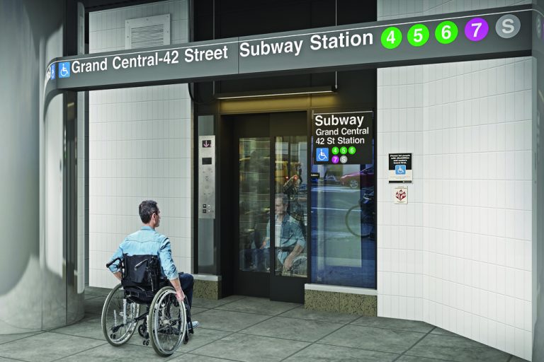
While many people use Google Maps and other navigation tools to plan their rail transit trips across a city, these apps and websites often lack important information about how accessible a specific station is. That’s a problem for people who use the elevators, including those with mobility disabilities, pregnant people and commuters with heavy equipment such as suitcases or bicycles.
Researchers at the University of Washington developed UnlockedMaps, a web-based map that allows users to see in real time how accessible rail transit stations are in six metro areas: Philadelphia, Chicago, Seattle, Toronto, New York and the California Bay Area. UnlockedMaps shows which stations are accessible and which ones are experiencing elevator outages. The team collected elevator outage data from more than 2,300 transit stations over the past two years to build the system.
The researchers will present these findings Oct. 24 at the ASSETS 2022 Conference on Computers and Accessibility.
Continue reading at UW News.
Originally written by Sarah McQuate for UW News.